
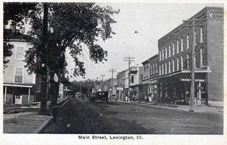

The Lexington History Project: Map & Landmarks
Walk around town, from the parks to Main Street to Memory Lane, to find signs with a QR code linking to a history of 16 iconic Lexington landmarks. The histories are engaging, personal stories of how different buildings and places in Lexington have featured in the city’s 200-year history. Learn about the coming and going of the railroad, 100-year-old local lore, the conditions and changes that swept through the city, and the stories that created this midwestern prairie town.
Check out the map below to see where historical markers have been put up around town. (all articles are also linked below)
Lexington History Project Articles
Markers Around Town

The Neon Sign on 66
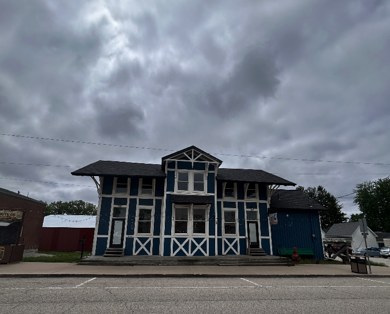
Lexington Meetings the World: The Train Depot
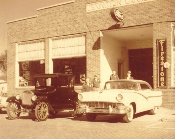
The Rise and Decline of Lexington's Gas Stations
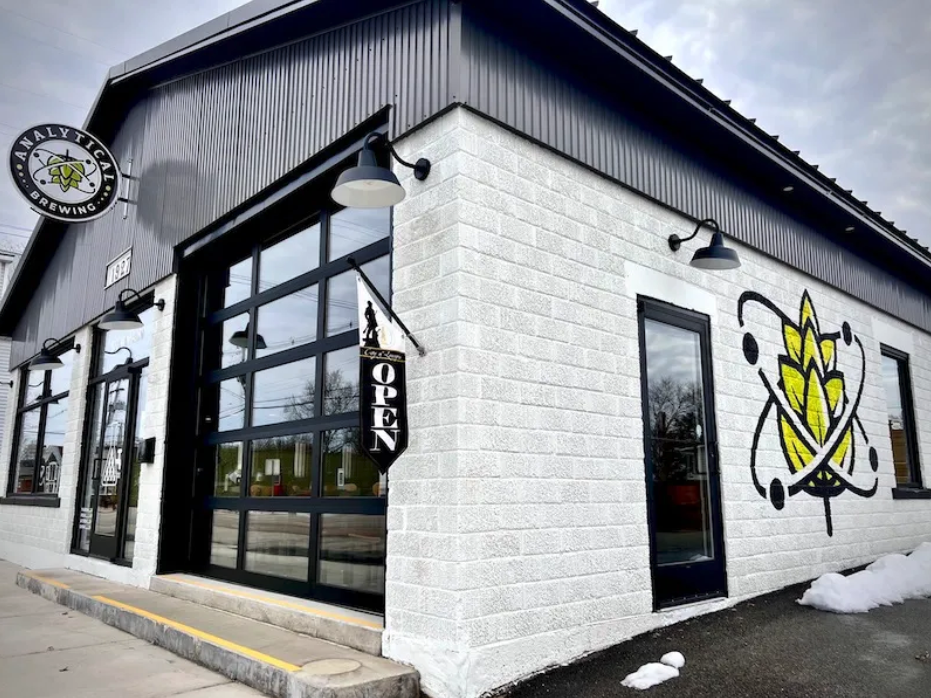
Analytical Brewing and a Brief History of Eating & Drinking in Lexington
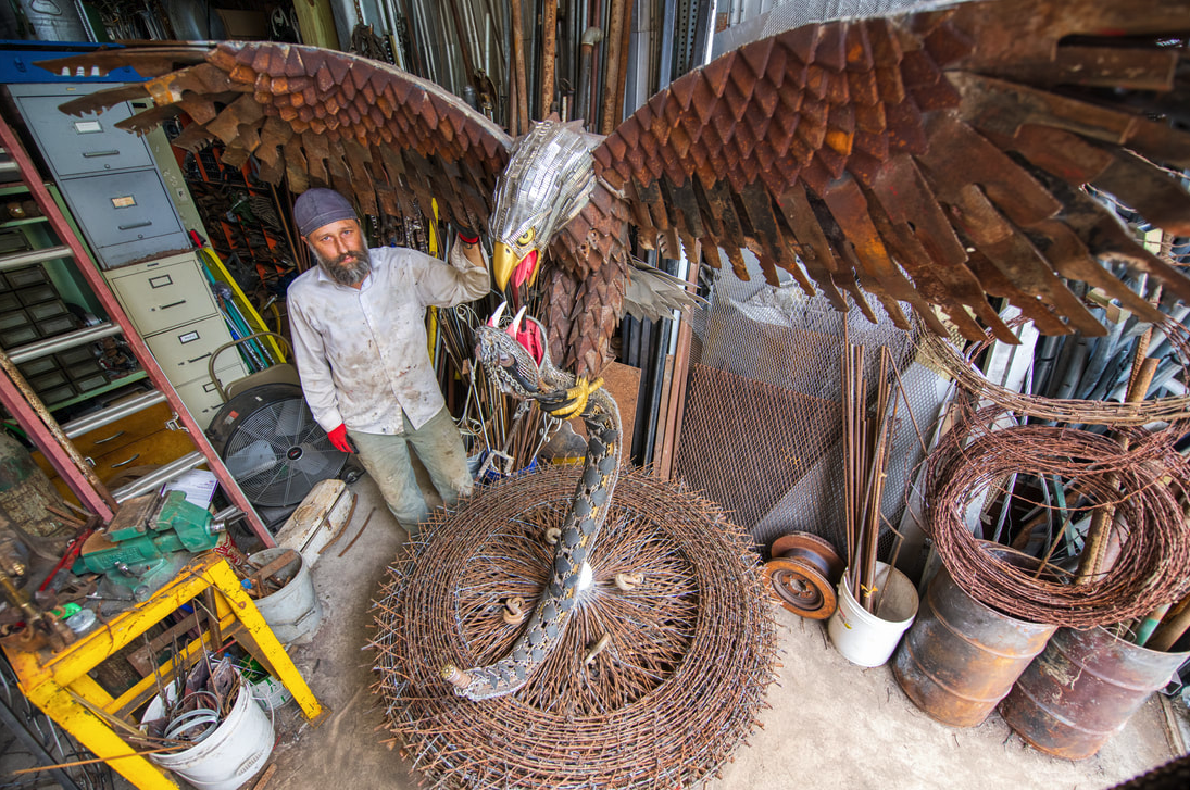
The Elephant and the Eagle: Kasey Wells and the Industry of Art
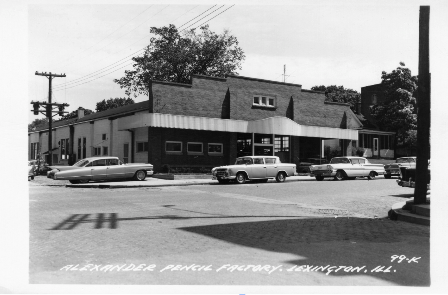
Close to Home: The Story of 329 W. Main Street and Lexington's City Hall
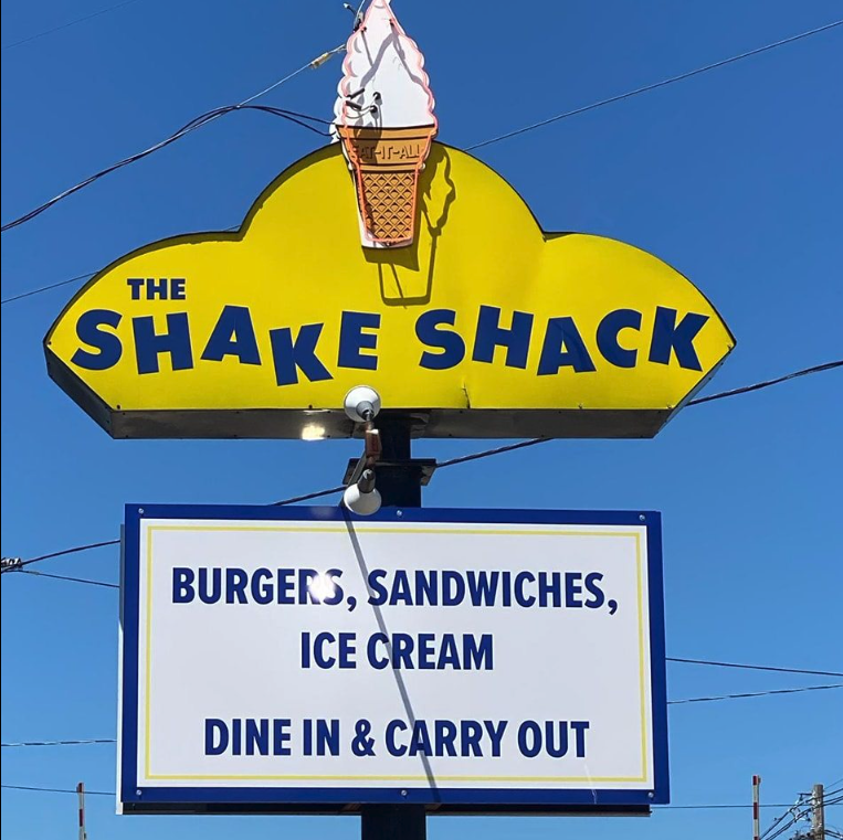
The Shake Shack and the Busy Corner of Main & Benson
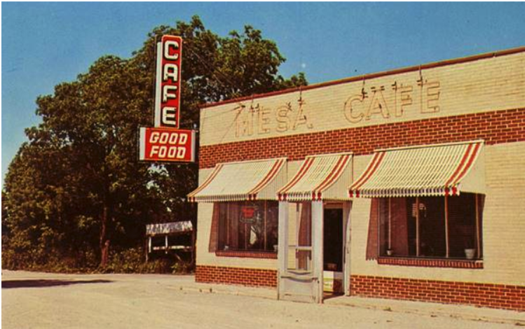
Uncle Vait's: A Nice, Quiet Joint on the Corner
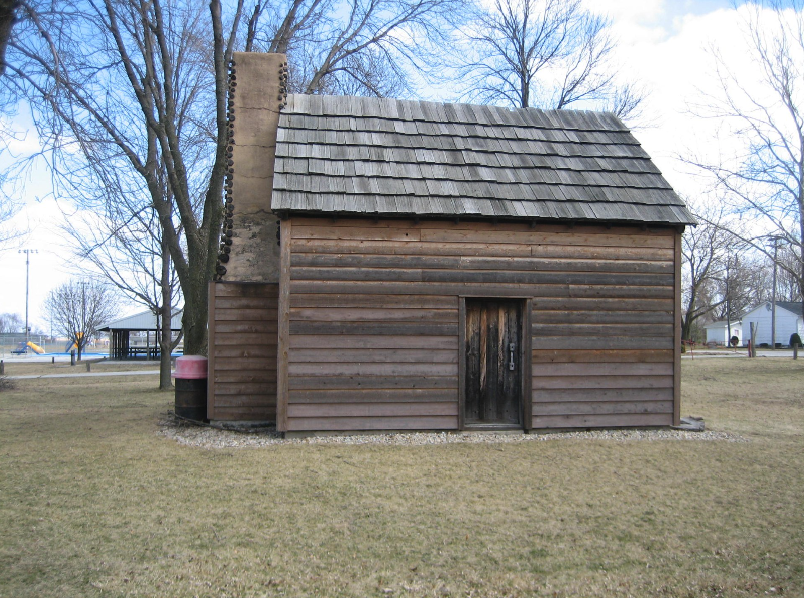
Patton Cabin: A Window into Illinois' Pioneer Past
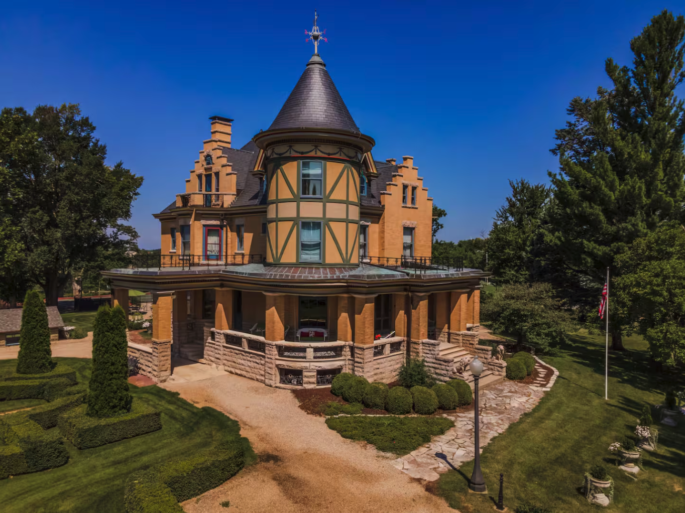
The Castle on the West End
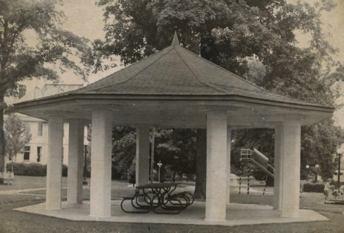
Taking It Easy: “The Square” and Other Parks of Lexington
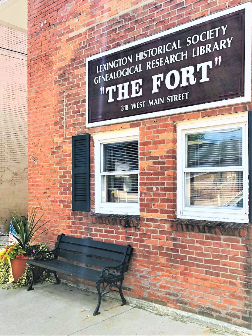
Keeping the Record Straight: 318 West Main Street and THE FORT
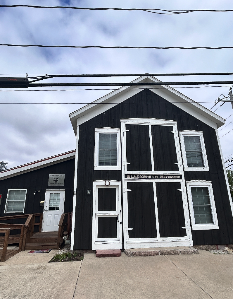
Forged in History: A Small Shoppe's Lasting Legacy
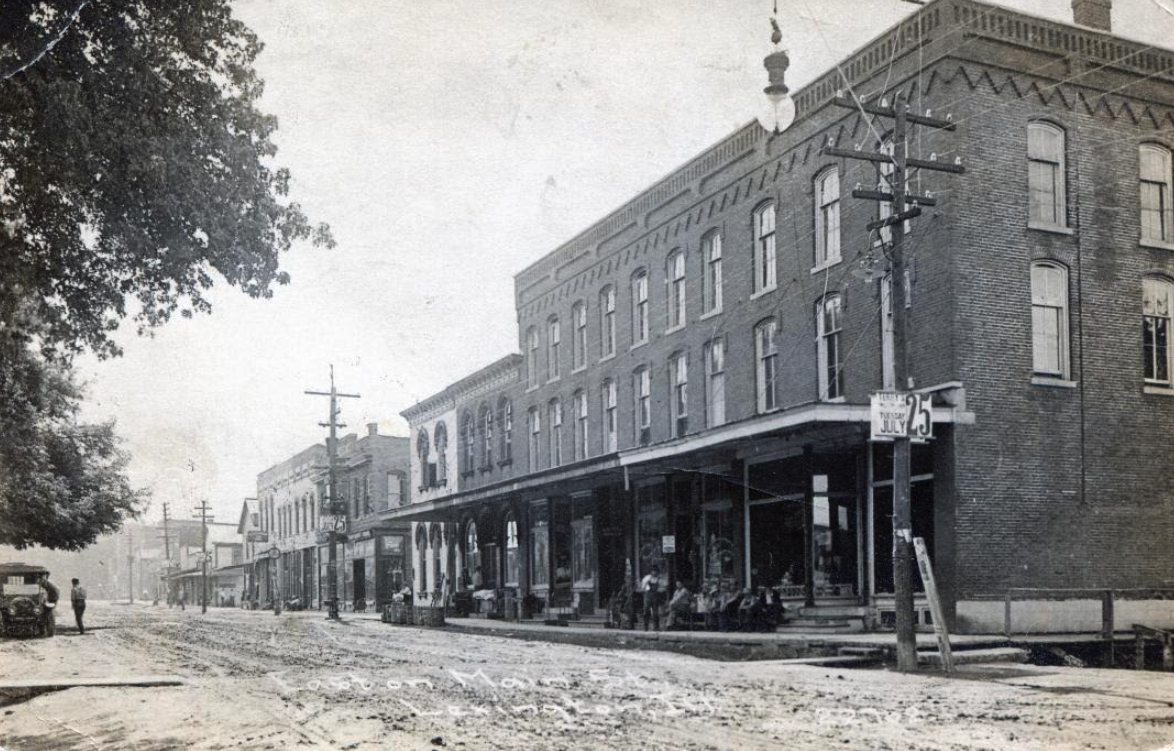
Main Street: The Street That Built Lexington
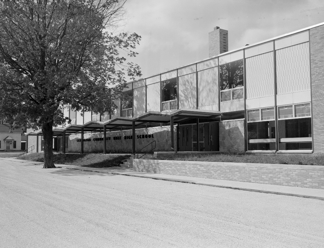
Building and Rebuilding: The History of Lexington Schools
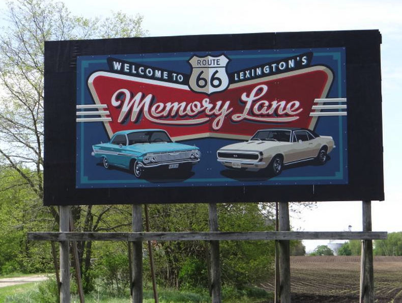
Memory Lane: Lexington’s Past On The Road